

Menu
October 6, 2026
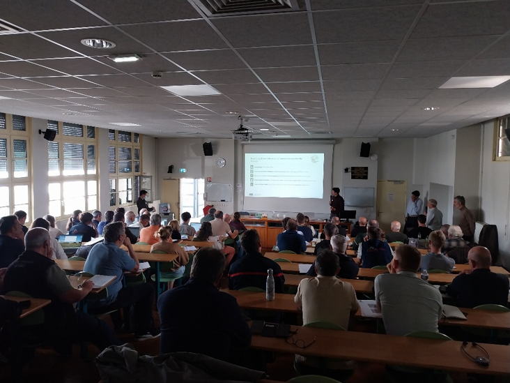
On 24 September 2026, the Forestry School of Meymac hosted the 4th IT4EST Roadshow and the first to take place in France. The event brought together European partners, forest managers and owners, funding organisations, students, and other stakeholders to explore how innovative technologies can support more effective wildfire and forest health risk management.
As part of the IT4EST project, several solutions are being tested under real-world conditions across the French testing area on the Plateau de Millevaches. The Roadshow offered an opportunity to present these technologies, discuss their potential, and gather direct feedback from the professionals who may use them in the future.
The morning sessions focused on a range of digital solutions designed to strengthen forest risk management.
Arbonaut presented wildfire risk maps developed using national LiDAR data, very-high-resolution satellite imagery and field observations. These maps provide information on fuel load, canopy height and probable fire behaviour, helping forest managers and emergency services better understand wildfire risk.
OPEGIEKA introduced GreenScout, a satellite-based tool using Sentinel-2 imagery to detect forest disturbances linked to drought, insect attacks and pathogens. Validation work using bark beetle damage data provided by Forestry France has already delivered promising results.
Participants were also introduced to fixed-wing drone technologies developed by Thrust for forest remote sensing. These drones can cover large areas while collecting high-resolution data that can be analysed using artificial intelligence to support forest health monitoring.
Forestry France also presented a free web-based tool developed by the IT4EST consortium to estimate the carbon sequestration potential of reforestation projects following wildfires, sanitation felling or climate-related events.
The afternoon moved from presentations to field demonstrations.
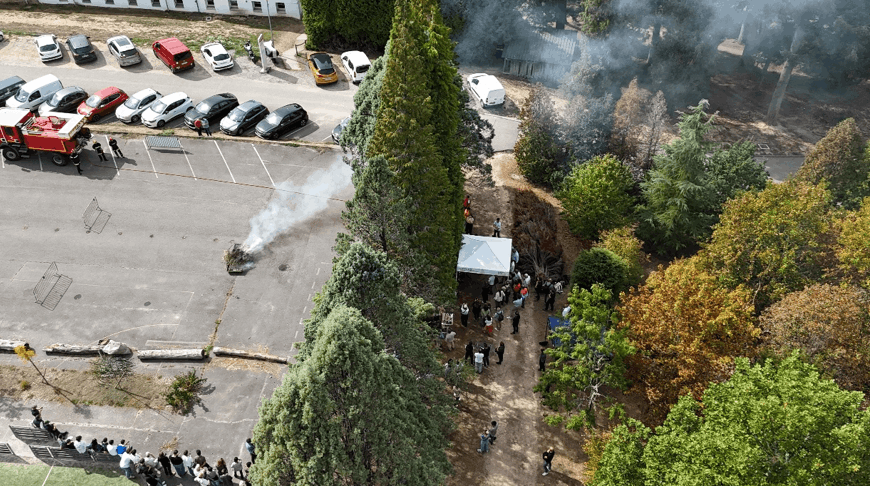
Under the supervision of SDIS 19, a controlled fire was ignited to test two early wildfire detection systems. SEBELO used connected, solar-powered sensors to continuously analyse air composition and detect the first signs of smoke, while SylviaCare demonstrated autonomous thermal-imaging sensors capable of identifying the infrared signature of an emerging fire.
Both systems successfully detected the fire and transmitted an alert in less than two minutes, highlighting the value of early detection in supporting faster intervention before a fire spreads.
The Roadshow concluded with working sessions involving stakeholders and experts, who shared feedback on the technologies presented, the areas where improvements could be made, and the needs they encounter in the field.
This exchange is central to the IT4EST approach. Testing solutions in real environments and involving forestry professionals directly helps ensure that technological innovation responds to practical needs and can evolve into useful, effective services.
Further Roadshows are planned across partner countries before the project concludes in 2027, while validation activities in the French testing area on the Plateau de Millevaches will continue.
By connecting technology providers with forestry professionals and local stakeholders, IT4EST is helping advance practical solutions for the future of forest risk management.
Input your search keywords and press Enter.